Colonial Despatches
The colonial despatches of Vancouver Island and British Columbia 1846-1871
Map showing part of Vancouver Island, between Straits of Juan de Fuca and Cowichan Harbour.
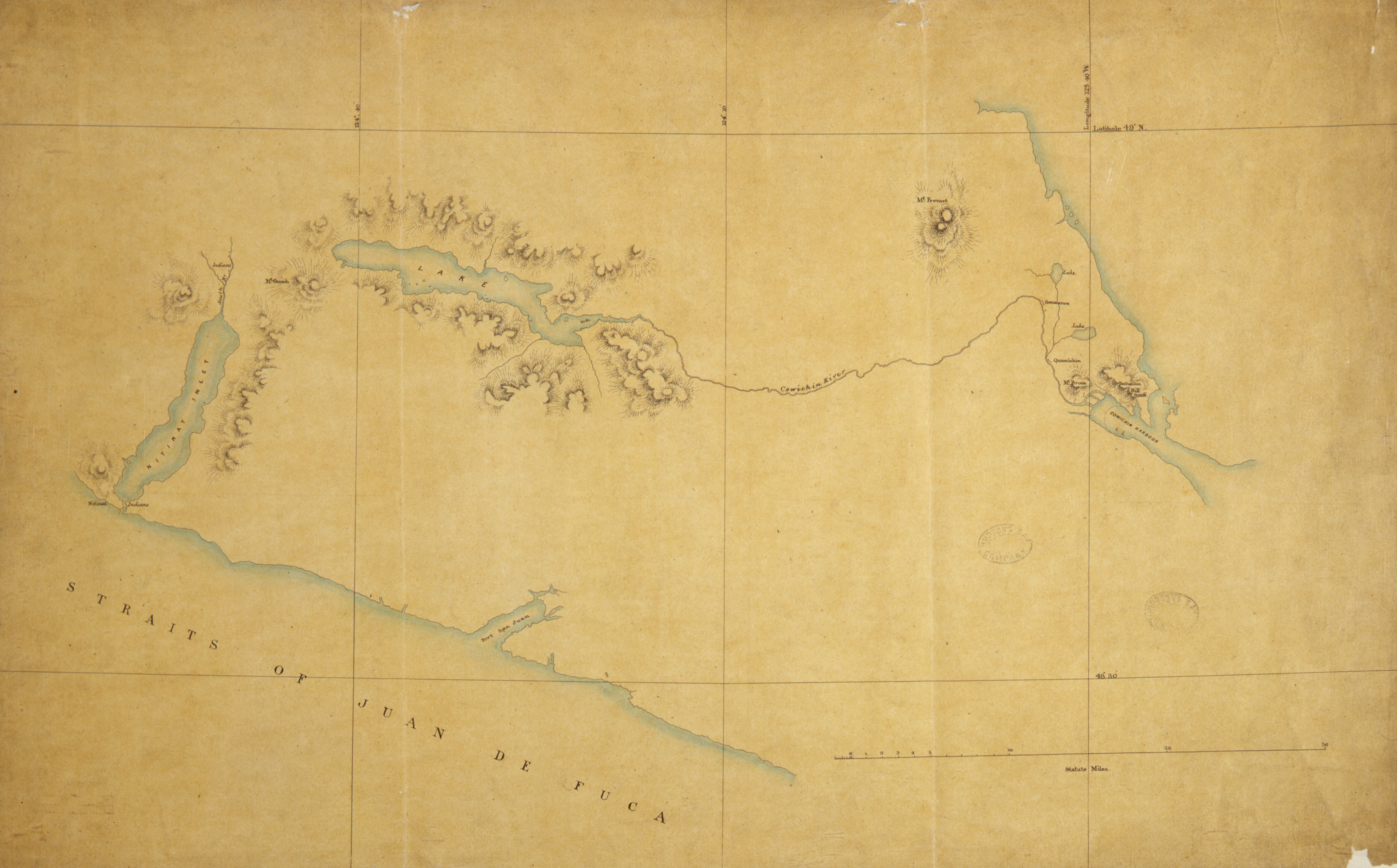
Title: Map showing part of Vancouver Island, between Straits of Juan de Fuca and Cowichan Harbour.
Author: J.D. Pemberton
Subject: Victoria Region (B.C.)--Maps; Vancouver Island, Southeastern (B.C.)--Maps; Vancouver Island (B.C.)--Discovery and exploration--Maps
Identifier (repository): HBC
Identifier (doc_id): G1/135
Date: 1857
Funder: Funded by a Canadian Council of Archives, Archival Community Digitization Program.
Publisher: Hudson's Bay Company Archives