Colonial Despatches
The colonial despatches of Vancouver Island and British Columbia 1846-1871
Sketch of the Country between Jervis Inlet and Port Pemberton, in British Columbia.
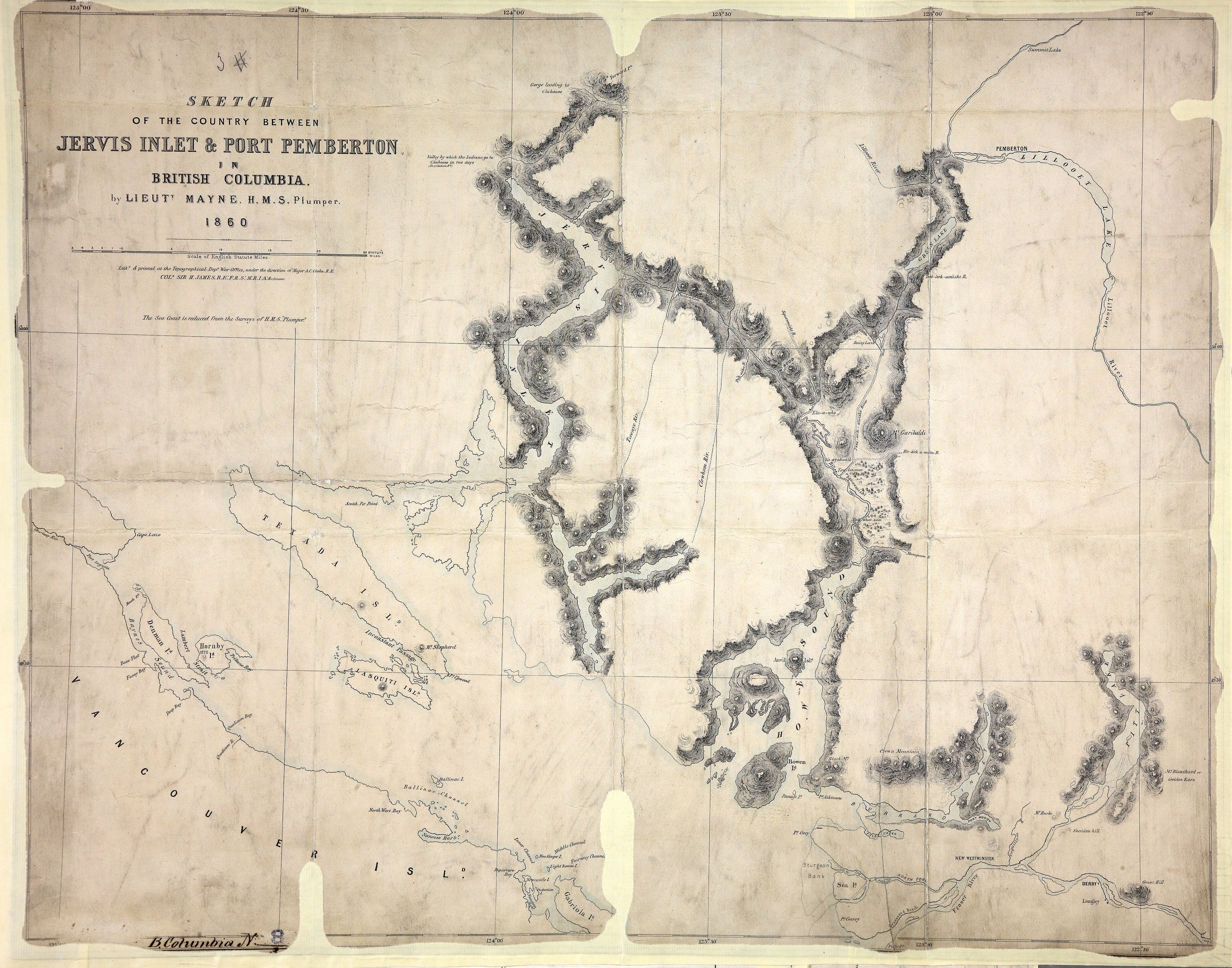
Title: Sketch of the Country between Jervis Inlet and Port Pemberton, in British Columbia.
Title: Jervis Inlet and Port Pemberton.
Author: Mayne, R. C. (Richard Charles), 1835-1892
Subject: Jervis Inlet (B.C.) -- Maps; Pemberton (B.C.) -- Maps; British Columbia -- Maps;
Subject: British Columbia, 1860
Identifier (repository): CO
Identifier (repoNumber): 700
Identifier (repoVol): bc
Identifier (libFileName): CO700-BRITISH COLUMBIA8 (3)
Identifier (penfoldNum): 391
Identifier (doc_id): CO 700/BRITISH COLUMBIA8/3
Date: 1860
Funder: Funded by a Canadian Council of Archives, Archival Community Digitization Program.
Publisher: Great Britain. War Office. Topographical Depot.
Publisher: National Archives of the UK.
Identifier (CONTENTdm): oai:contentdm.library.uvic.ca:collection5/35
50 30'N--49 05'N / 124 50'W--122 40'W.