Colonial Despatches
The colonial despatches of Vancouver Island and British Columbia 1846-1871
Haro and Rosario Straits
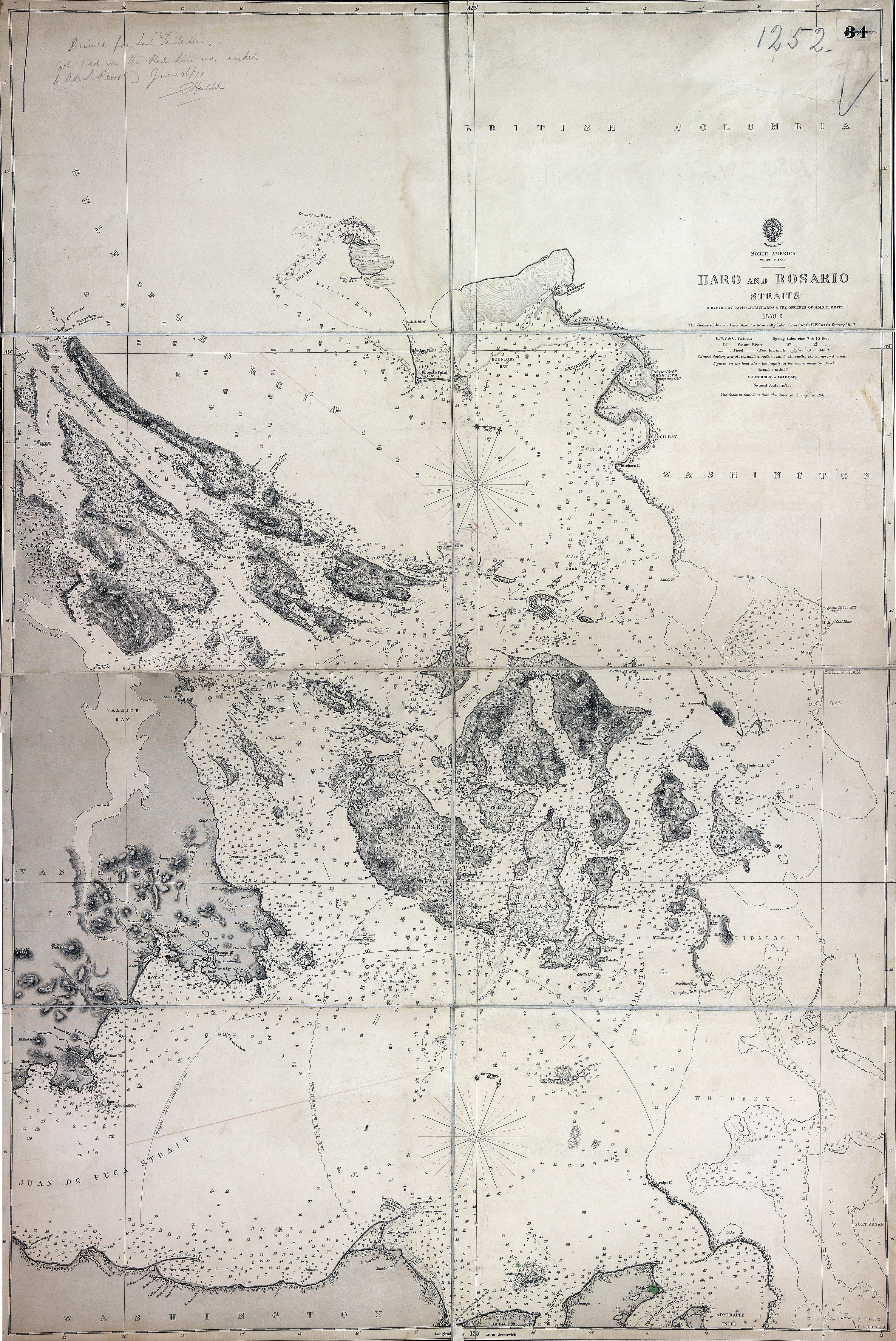
Title: Haro and Rosario Straits
Author: Richards, G.H. (George Henry)
Subject: Haro Strait (B.C. and Wash.)--Maps; Rosario Strait (Wash.)--Maps
Subject: Haro and Rosario Straits, 1859, 1871
Identifier (repository): FO
Identifier (repoNumber): 925
Identifier (repoVol): 1252
Identifier (libFileName): FO925-1252
Identifier (penfoldNum): 494
Identifier (doc_id): FO 925/1252
Date: 1859
Funder: Funded by a Canadian Council of Archives, Archival Community Digitization Program.
Publisher: Great Britain. Hydrographic Office
Publisher: National Archives of the UK.
Identifier (CONTENTdm): oai:contentdm.library.uvic.ca:collection5/23
49 15'N--48 05'N / 123 35'W--122 25'W