Colonial Despatches
The colonial despatches of Vancouver Island and British Columbia 1846-1871
Sketch map of part of British Columbia shewing trails and routes of communication.
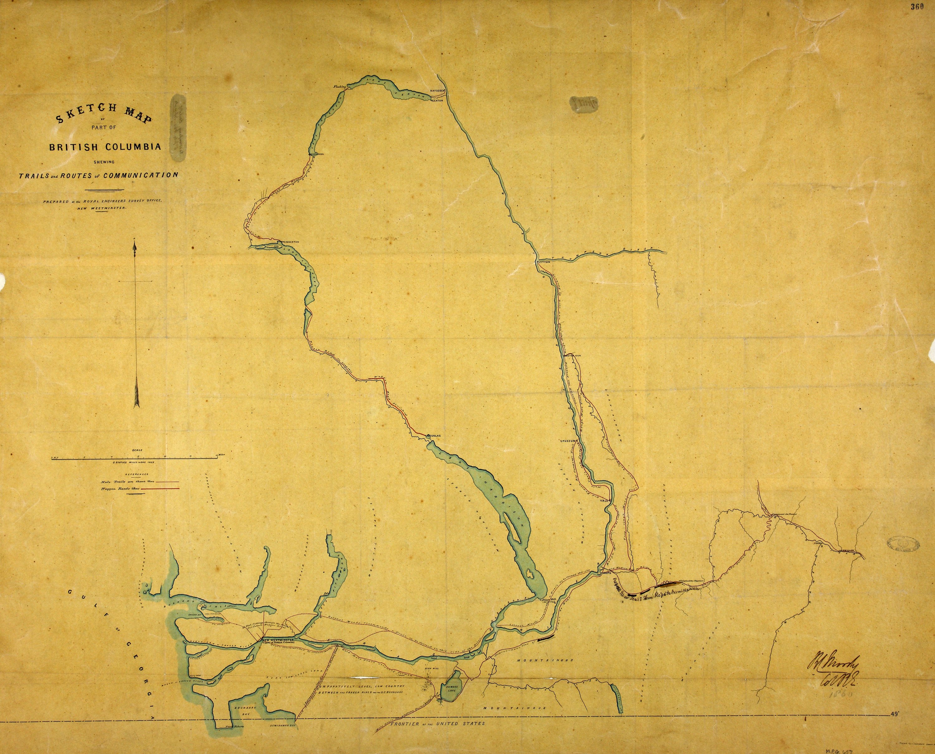
Title: Sketch map of part of British Columbia shewing trails and routes of communication.
Author: Launders, James Benjamin, d. 1878; Moody, R. C. (Richard Clement), 1813-1887
Subject: British Columbia, Southern -- Maps; Roads -- British Columbia, Southern -- Maps
Subject: British Columbia, 1860
Identifier (repository): MPG
Identifier (repoNumber): 1
Identifier (repoVol): 657
Identifier (libFileName): MPG1-657
Identifier (penfoldNum): 390
Identifier (doc_id): MPG 1/657
Date: 1860
Funder: Funded by a Canadian Council of Archives, Archival Community Digitization Program.
Publisher: Great Britain. Army. Royal Engineers. Columbia Detachment.
Publisher: National Archives of the UK.
Identifier (CONTENTdm): oai:contentdm.library.uvic.ca:collection5/291