Colonial Despatches
The colonial despatches of Vancouver Island and British Columbia 1846-1871
Brown to Colonial Office
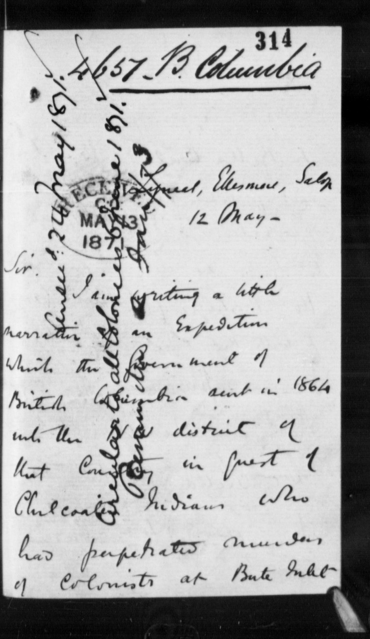
Lyneal, Ellesmore, Salop
12 May
Sir,
I am writing a little narrative of an Expedition which the
Government of British Columbia sent in 1864 into the NW district
of that Country in quest of Chilcoatin Indians who had
perpetrated murders of Colonists at Bute Inlet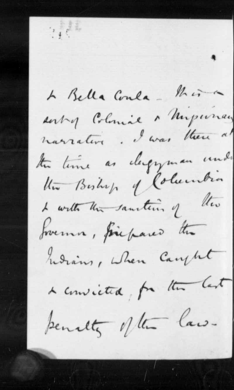 & Bella Coola.
It is a sort of Colonial & Missionary narrative. I was there at
the time as clergyman under the Bishop of Columbia & with the
sanction of the Governor, prepared the Indians, when caught &
convicted, for the last penalty of the law.
 & Bella Coola.
It is a sort of Colonial & Missionary narrative. I was there at
the time as clergyman under the Bishop of Columbia & with the
sanction of the Governor, prepared the Indians, when caught &
convicted, for the last penalty of the law.
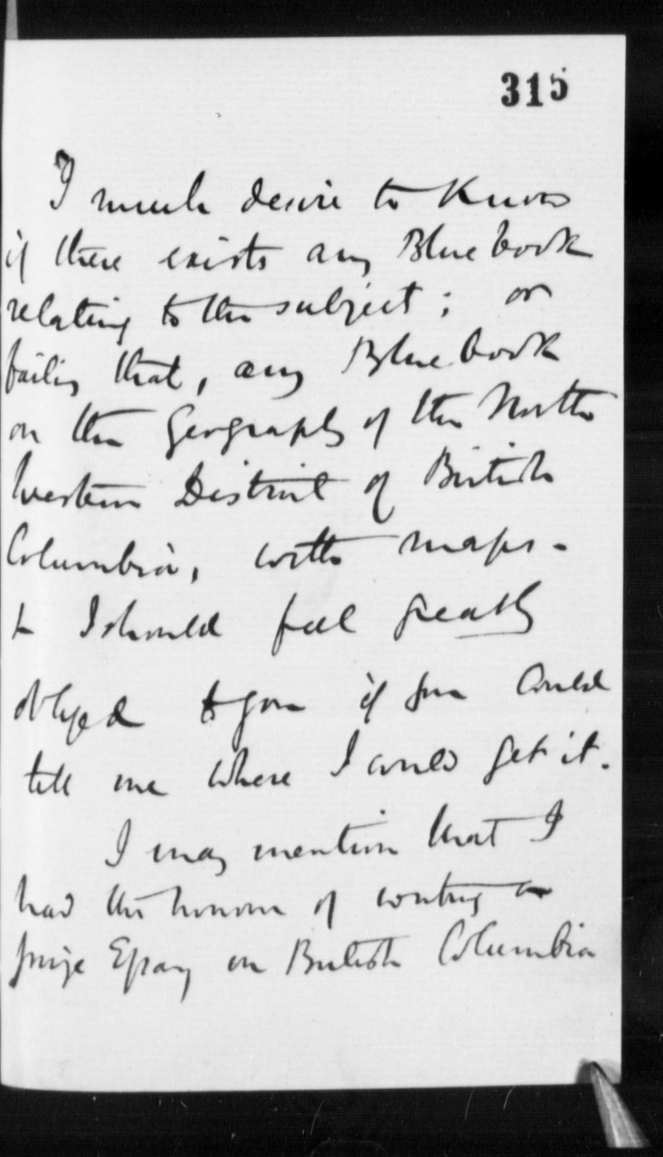
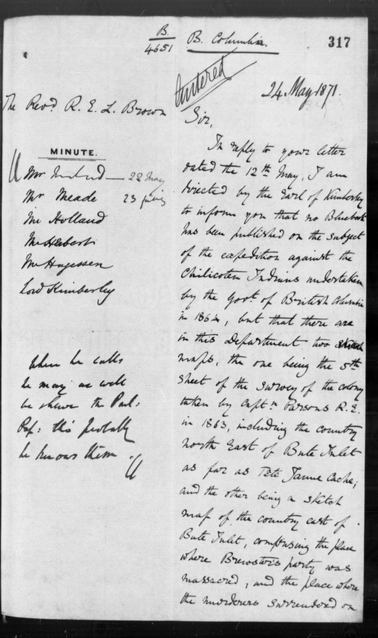
I much desire to know if there exists any Blue book relating to
the subject; or failing that, any Blue book on the Geography of
the North Western District of British Columbia, with maps—& I
should feel greatly obliged to you if you could tell me where I
could get it.
I may mention that I had the honour of writing a prize Essay on
British Columbia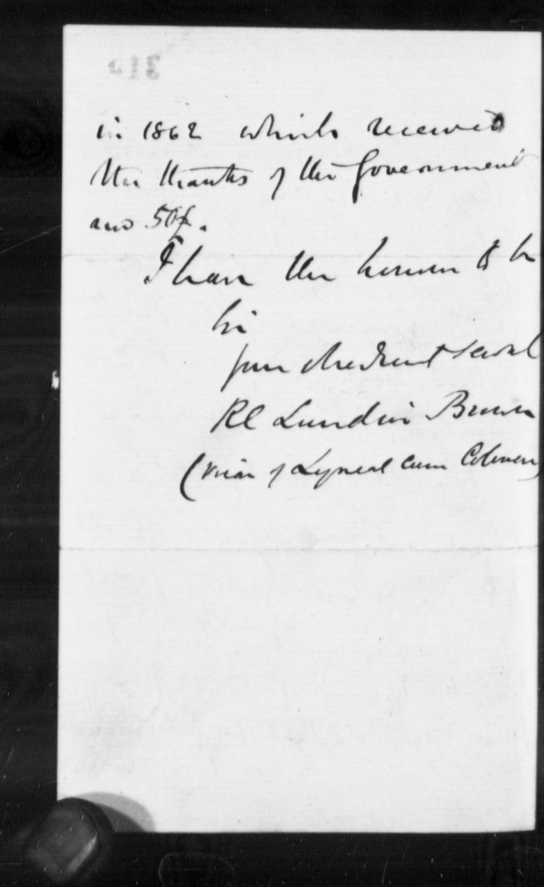 in 1862 which received the thanks of the
Government and 50£.
 in 1862 which received the thanks of the
Government and 50£.
Minutes by CO staff
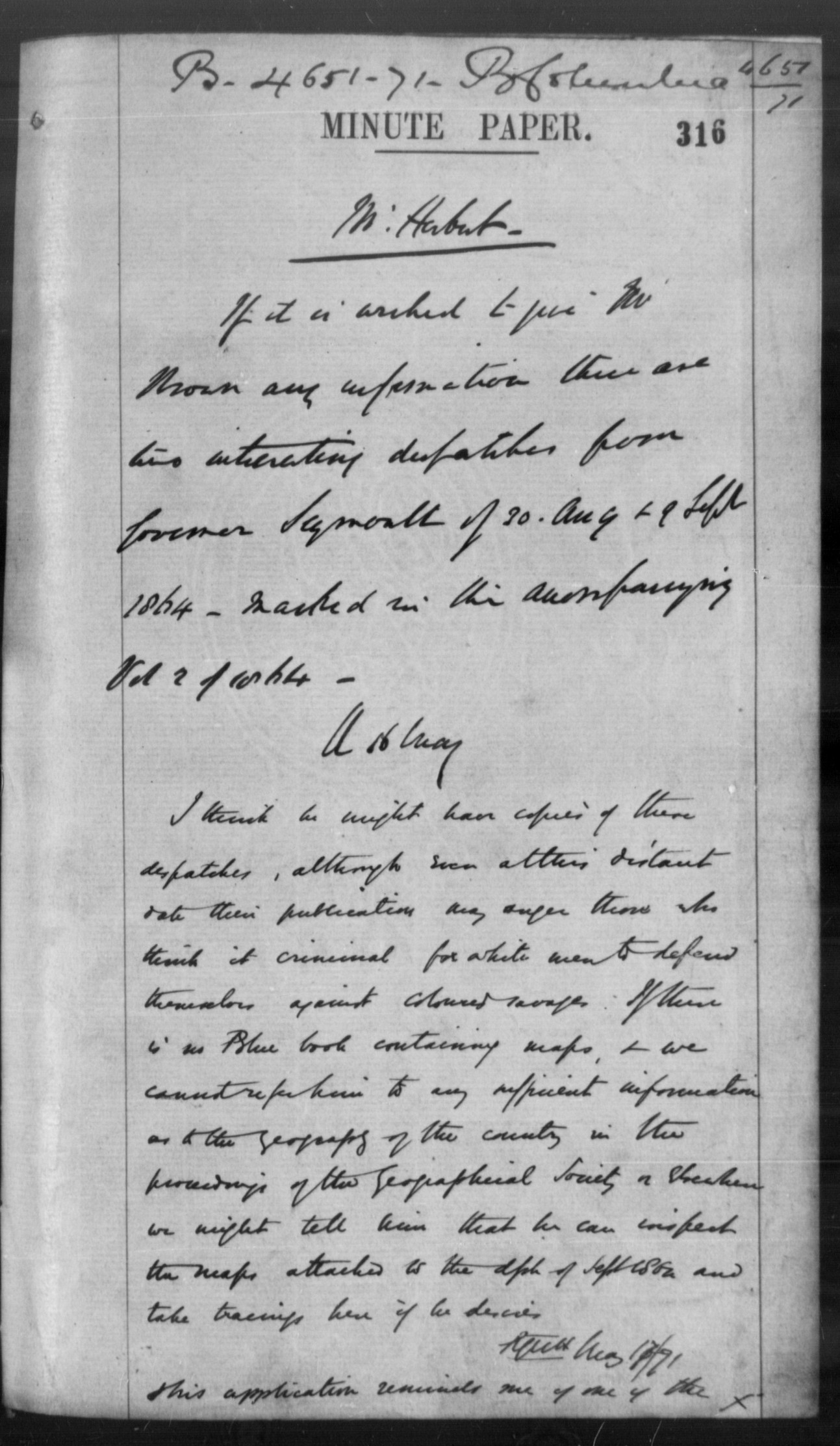
Mr Herbert
If it is wished to give Mr Brown any information there are two interesting despatches from Governor Seymouth [Seymour] of 30 Aug & 9 Sept 1864—marked in the accompanying Vol 2 of 1864.
If it is wished to give Mr Brown any information there are two interesting despatches from Governor Seymouth [Seymour] of 30 Aug & 9 Sept 1864—marked in the accompanying Vol 2 of 1864.
CC
15 May
I think he might have copies of these despatches, although even
at this distant date their publication may anger those who think
it criminal for white men to defend themselves against coloured
savages. If there is no Blue book containing maps, & we cannot
refer him to any sufficient information as to the geography of
the country in the proceedings of the Geographical Society or
elsewhere we might tell him that he can inspect the maps
attached to the dph of Sept 1864 and take tracings here if he
desires.
RGWH
May 17/71
This application reminds me of one of the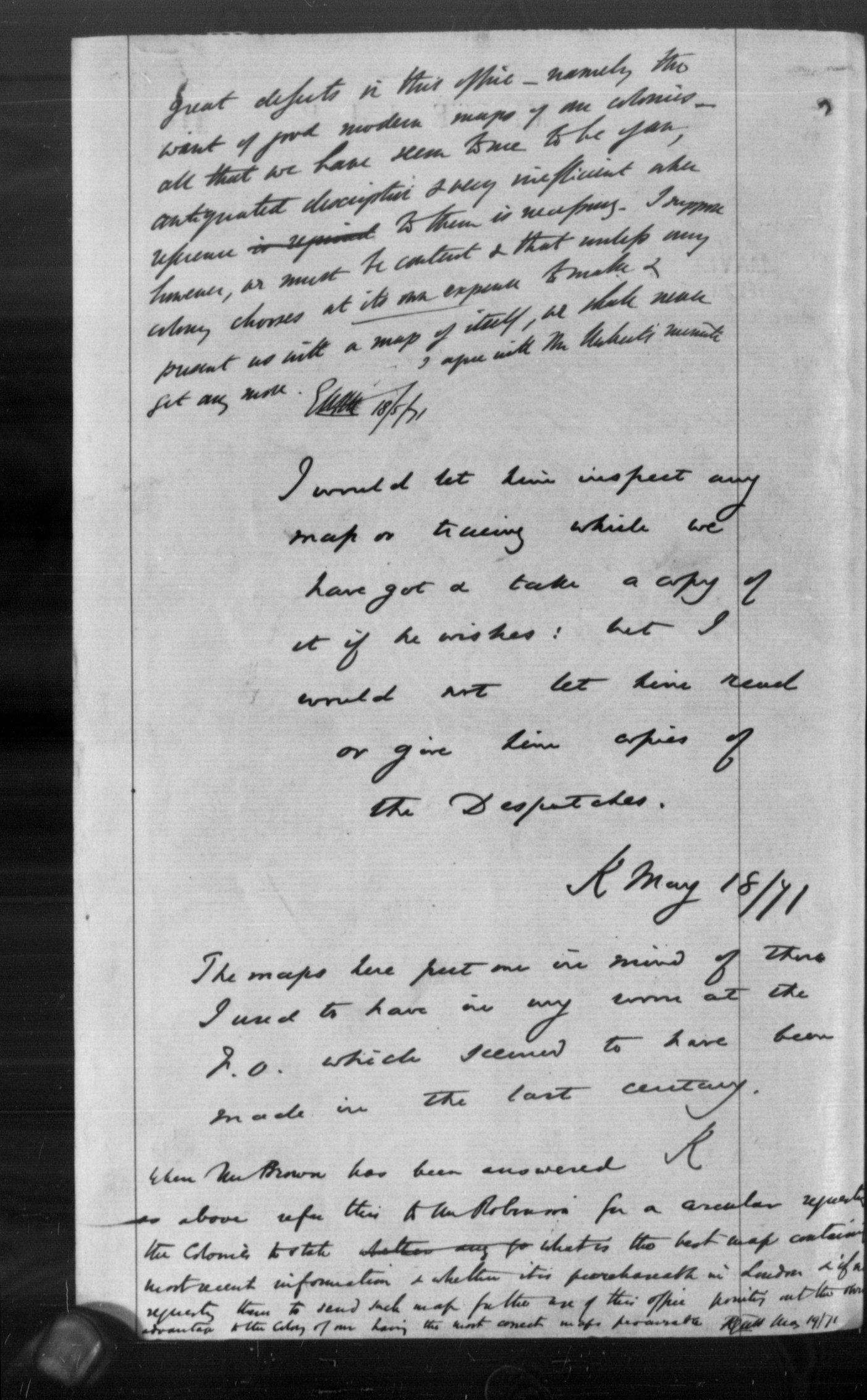 great defects in this
office—namely the want of good modern maps of our colonies—all
that we have seem to me to be of an
antiquated description & very inefficient
when reference to them is necessary. I suppose however, we must
be content & that unless any colony chooses at
its own expense
to make & present us with a map of itself, we shall never get
any more. I agree with Mr Herbert's minute.
 great defects in this
office—namely the want of good modern maps of our colonies—all
that we have seem to me to be of an
antiquated description & very inefficient
when reference to them is necessary. I suppose however, we must
be content & that unless any colony chooses at
its own expense
to make & present us with a map of itself, we shall never get
any more. I agree with Mr Herbert's minute.
EHKH
18/5/71
I would let him inspect any map or tracing which we have got &
take a copy of it if he wishes: but I would not let him read or
give him copies of the Despatches.
The maps here put me in mind of those I used to have in my room
at the F.O. which seemed to have been made in the last century.
K
May 18/71
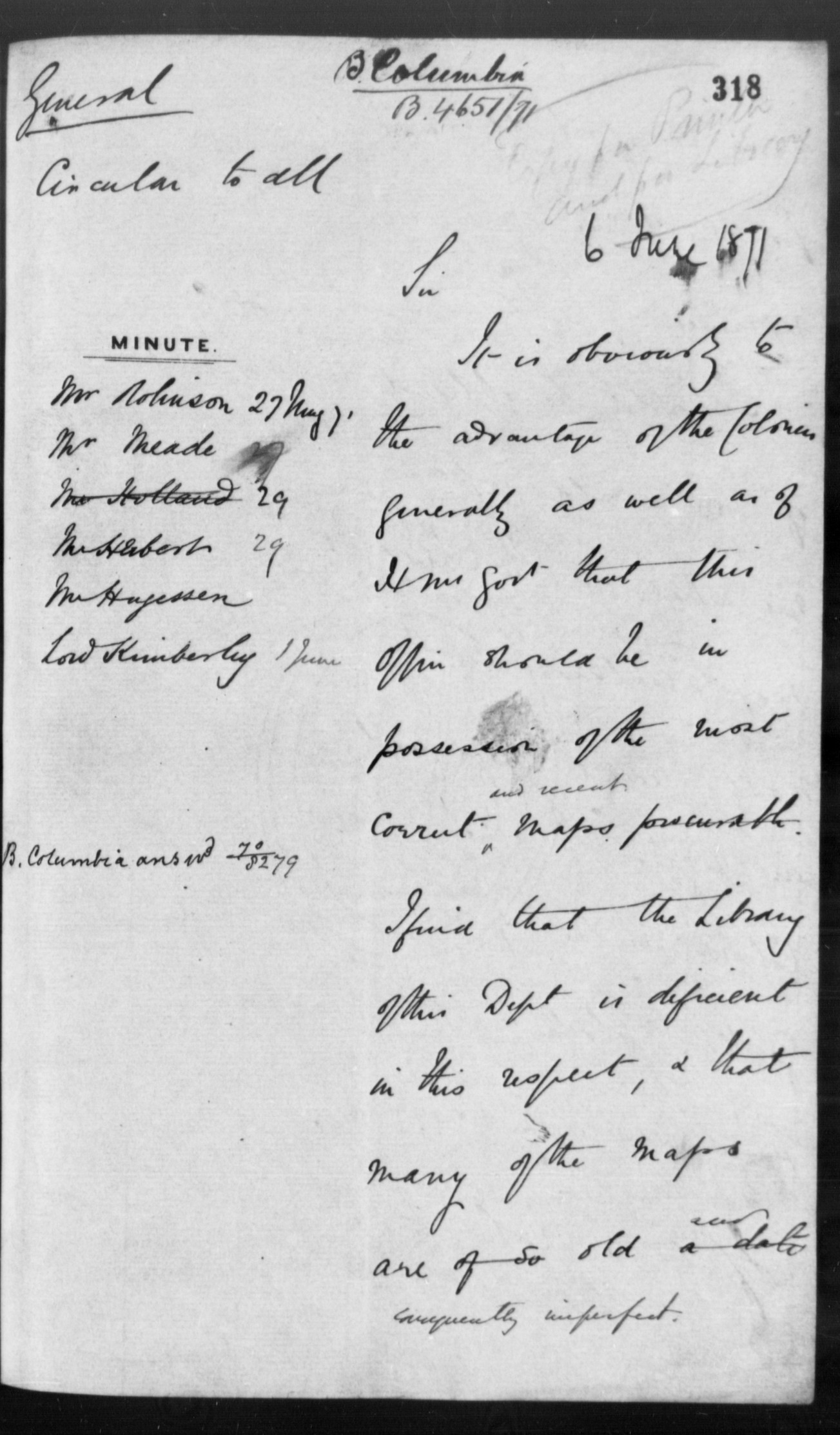
When Mr Brown has been answered as above refer this to Mr
Robinson for a circular requesting the Colonies to state what is
the best map containing most recent information & whether it is
purchaseable in London & if not requesting them to send such maps
for the use of this office pointing out the obvious
advantage to the Colony of our having the most correct maps
procurable.
RGWH
May 19/71
Other documents included in the file
Other documents included in the file
*
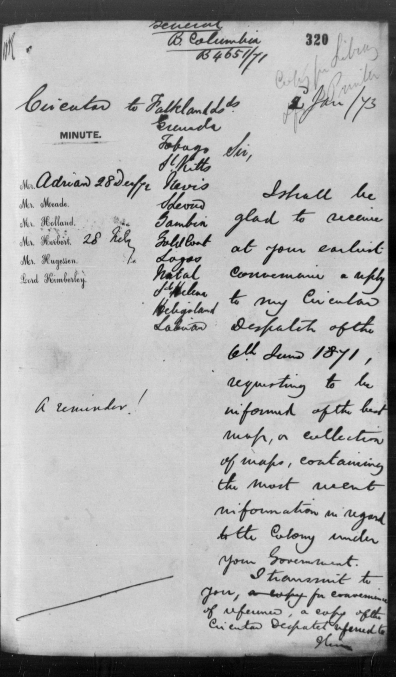
Circular, Kimberley to approximately one dozen colonies (not
including British Columbia),2 January 1873, reminding them of the
request made in the circular of 6 June 1871.
