Colonial Despatches
The colonial despatches of Vancouver Island and British Columbia 1846-1871
Cranberry District 1859 (Rough sketch)
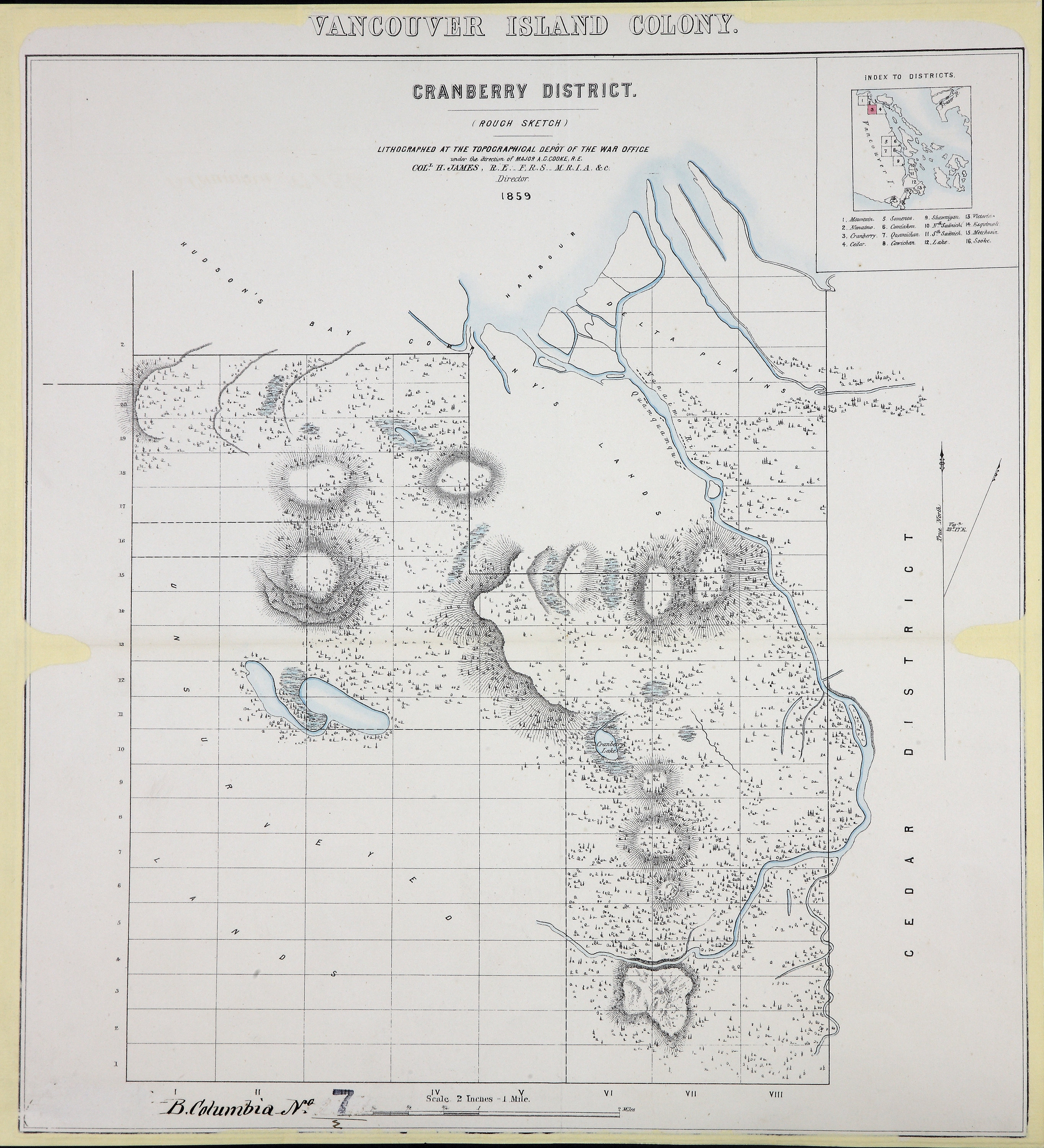
Vancouver Island Colony. Sketch Maps of Districts. Lithographed at the Topographical
Dept of the War Office, London, 1859: Cranberry District. [Vancouver Island, 1859].
Scale 2 inches to 1 mile.
Cranberry District 1859 (Rough sketch), 1859, Great Britain. War Office. Topographical Depot, CO 700/BRITISH COLUMBIA7/2.
The Colonial Despatches of Vancouver Island and British Columbia 1846-1871, Edition 2.6, ed. James Hendrickson and the Colonial Despatches project. Victoria,
B.C.: University of Victoria. https://bcgenesis.uvic.ca/co_700-bc_7_2_van_isl_1859_cranberry.html.
Title: Cranberry District 1859 (Rough sketch)
Title: Vancouver Island Colony. Sketch Maps of Districts.
Subject: Vancouver Island (B.C.) -- Maps.
Subject: Vancouver Island, 1859
Identifier (repository): CO
Identifier (repoNumber): 700
Identifier (repoVol): bc
Identifier (libFileName): CO700-BRITISH COLUMBIA7 (2)
Identifier (penfoldNum): 568
Identifier (doc_id): CO 700/BRITISH COLUMBIA7/2
Date: 1859
Funder: Funded by a Canadian Council of Archives, Archival Community Digitization Program.
Publisher: Great Britain. War Office. Topographical Depot.
Publisher: National Archives of the UK.