Colonial Despatches
The colonial despatches of Vancouver Island and British Columbia 1846-1871
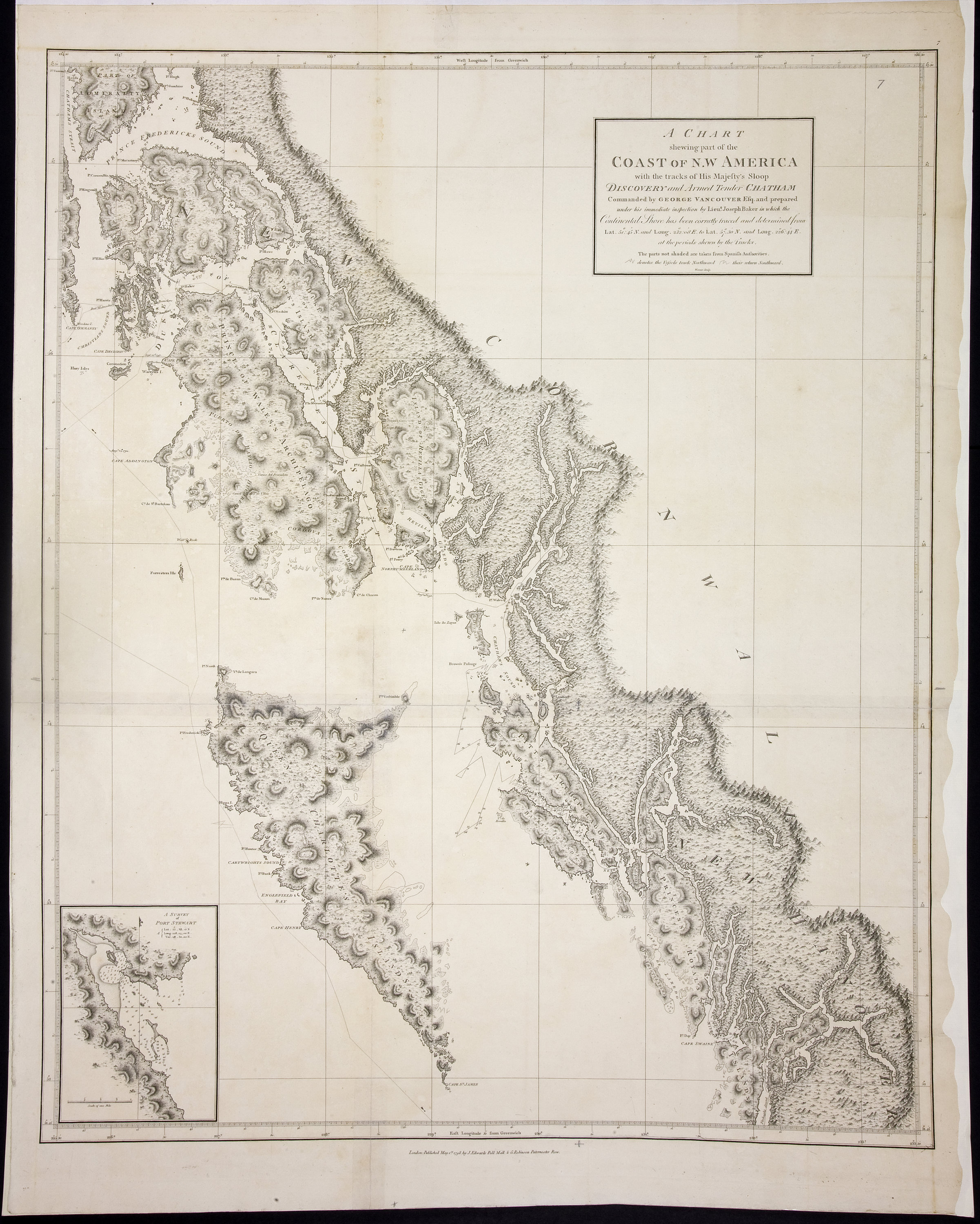
Chart shewing part of the Coast of N.W. America with the tracks of His Majesty's Sloop Discovery and Armed Tender Chatham, Commanded by George Vancouver Esq. and prepared under his immediate inspection by Lieut. Joseph Baker in which the continental shore has been correctly traced and determined from lat. 51 45ʹ N. and long. 232 08ʹ E. to lat. 57 30ʹ N. and long. 226 44ʹ E. at the periods shewn by the tracks ; Warner, sculp.
Title: Chart shewing part of the Coast of N.W. America with the tracks of His Majesty's Sloop Discovery and Armed Tender Chatham, Commanded by George Vancouver Esq. and prepared under his immediate inspection by Lieut. Joseph Baker in which the continental shore has been correctly traced and determined from lat. 51 45ʹ N. and long. 232 08ʹ E. to lat. 57 30ʹ N. and long. 226 44ʹ E. at the periods shewn by the tracks ; Warner, sculp.
Title: Voyage of discovery to the North Pacific Ocean, and round the world.
Author: Vancouver, George, 1757-1798
Subject: British Columbia -- Maps; Alaska -- Maps; Stewart (B.C.) -- Maps; Coasts -- Alaska -- Maps; Coasts -- British Columbia -- Maps; Northwest Coast of North America -- Historical geography; Nautical charts.
Identifier (repository): FO
Identifier (repoNumber): 925
Identifier (repoVol): 1386
Identifier (libFileName): FO925-1386 pt1 (7)
Identifier (penfoldNum):
Identifier (doc_id): FO 925/1386
Date: 1798
Funder: Funded by a Canadian Council of Archives, Archival Community Digitization Program.
Publisher: J. Edwards & G. Robinson
Publisher: National Archives of the UK.
57 30'N-51 45'N/134 30'W-126 30'W