Colonial Despatches
The colonial despatches of Vancouver Island and British Columbia 1846-1871
Archipelago of Arro, Gulf of Georgia, Ringgold's Channel and Straits of Fuca, Oregon Territory
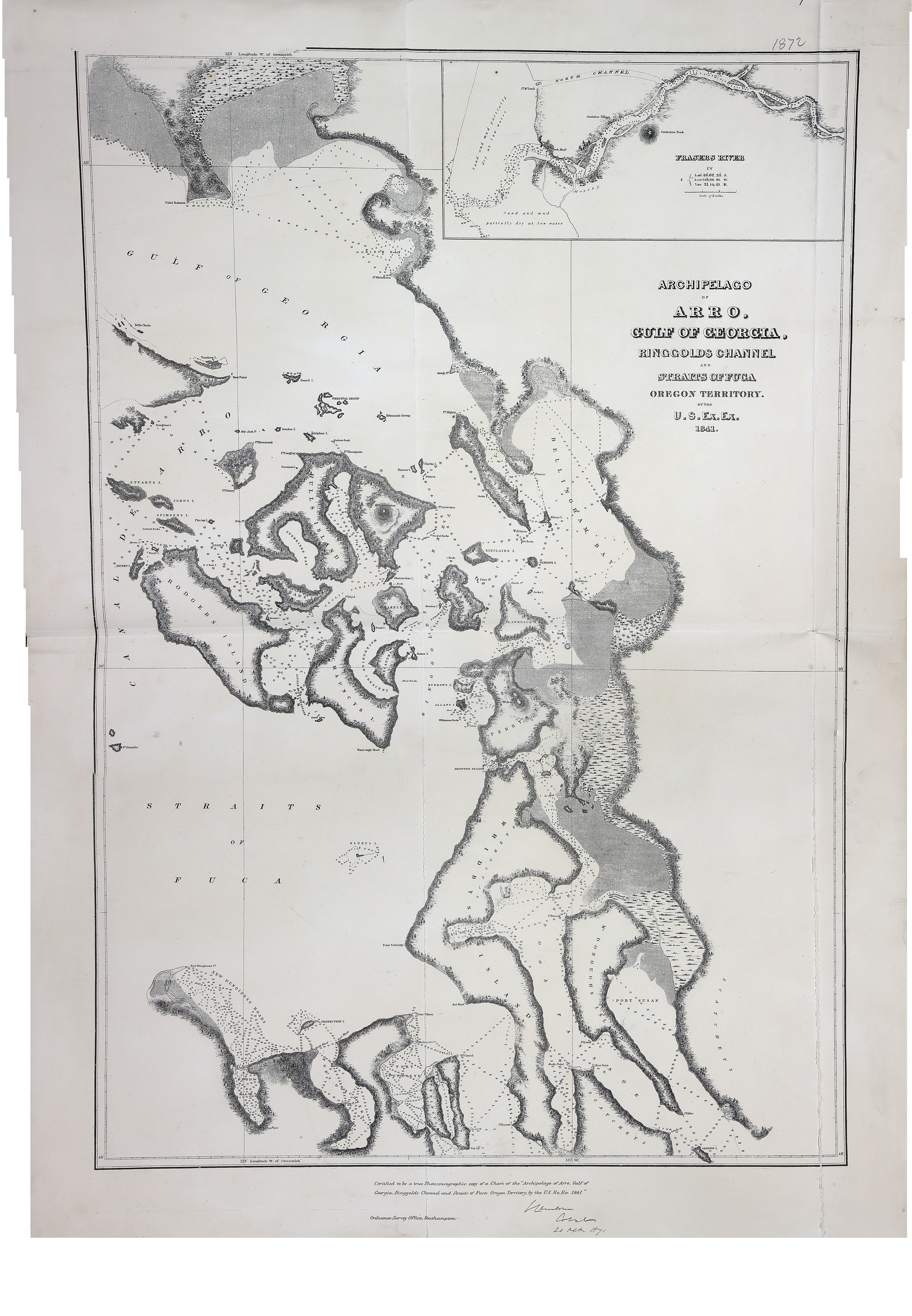
Title: Archipelago of Arro, Gulf of Georgia, Ringgold's Channel and Straits of Fuca, Oregon Territory
Author: United States Exploring Expedition (1838-1842)
Subject: Juan de Fuca Strait (B.C. and Wash.)--Maps; Georgia, Strait of (B.C. and Wash.)--Maps; San Juan Islands (Wash.)--Maps; Gulf Islands (B.C.)--Maps
Subject: British Columbia, 1841, 1871
Identifier (repository): FO
Identifier (repoNumber): 925
Identifier (repoVol): 1872
Identifier (libFileName): FO925-1872
Identifier (penfoldNum): 375
Identifier (doc_id): FO 925/1872
Date: 1841
Funder: Funded by a Canadian Council of Archives, Archival Community Digitization Program.
Publisher: Ordnance Survey Office
Publisher: National Archives of the UK.
49 00'N--48 00'N / 123 00'W--122 30'W