Colonial Despatches
The colonial despatches of Vancouver Island and British Columbia 1846-1871
Outline chart of the coast of Burke Channel, with the northern part of FitzHugh Sound.
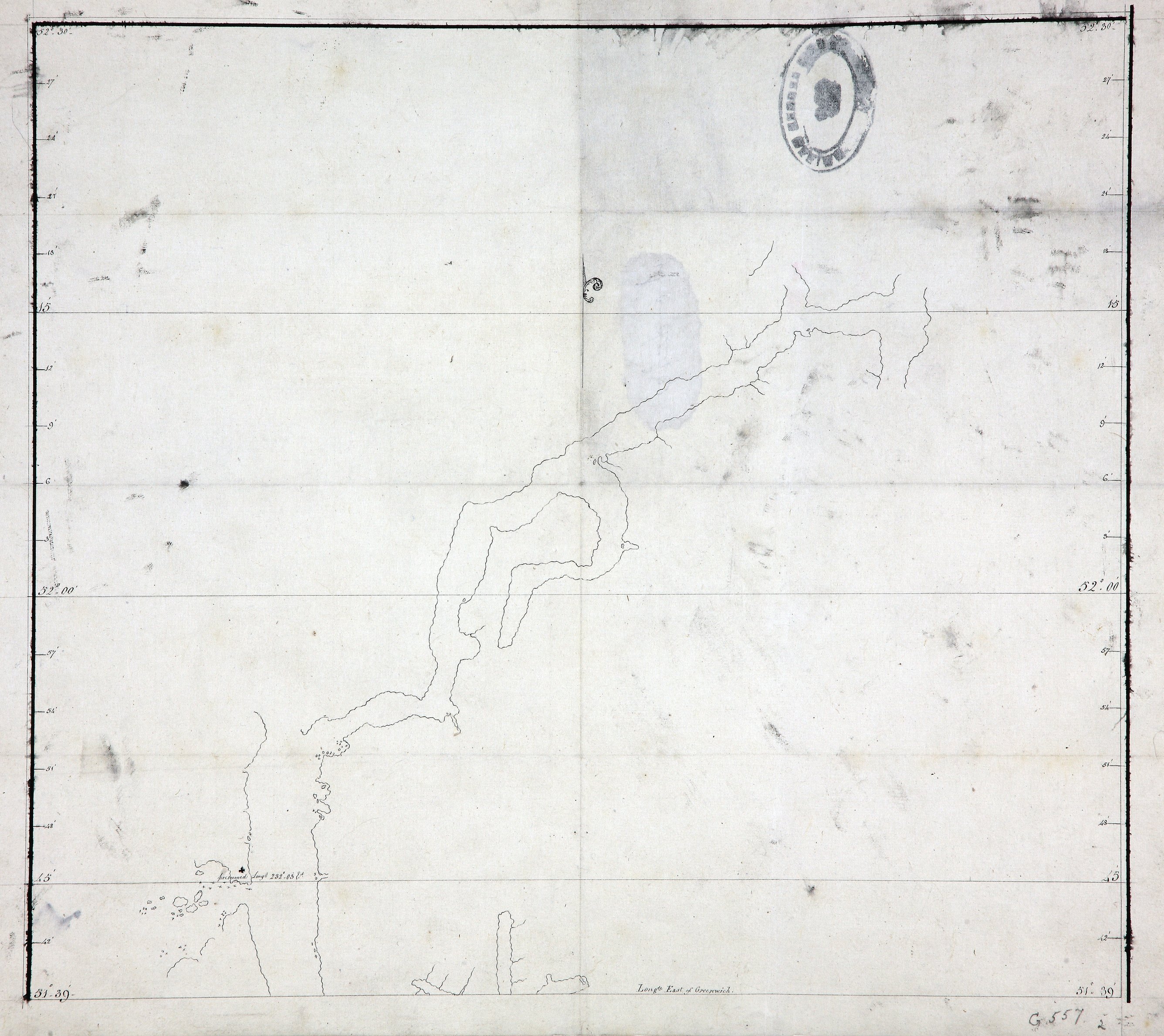
British Columbia. Outline chart of the coast of Burke Channel, with the northern part
of FitzHugh Sound. Scale: 1 inch to about 4 miles. Compass indicator. Longitude is
shown east from Greenwich. [Burke Channel, c. 1792]. Title from description.
Outline chart of the coast of Burke Channel, with the northern part of FitzHugh Sound, 1792, National Archives of the UK, MPG 1/557/2. The Colonial Despatches of Vancouver Island and British Columbia 1846-1871, Edition 2.6, ed. James Hendrickson and the Colonial Despatches project. Victoria,
B.C.: University of Victoria. https://bcgenesis.uvic.ca/mpg_1-557_2_fitzhugh_sound_1792.html.
Title: Outline chart of the coast of Burke Channel, with the northern part of FitzHugh Sound.
Title: Burke Channel, with the northern part of FitzHugh Sound.
Subject: Burke Channel (B.C.) -- Maps; Fitz Hugh Sound (B.C.) -- Maps; British Columbia -- Maps
Subject: Burke Channel, 1792
Identifier (repository): MPG
Identifier (repoNumber): 1
Identifier (repoVol): 557
Identifier (libFileName): MPG1-557 (2)
Identifier (penfoldNum): 453
Identifier (doc_id): MPG 1/557/2
Date: 1792
Funder: Funded by a Canadian Council of Archives, Archival Community Digitization Program.
Publisher: National Archives of the UK.
52 30'N-51 39N