Colonial Despatches
The colonial despatches of Vancouver Island and British Columbia 1846-1871
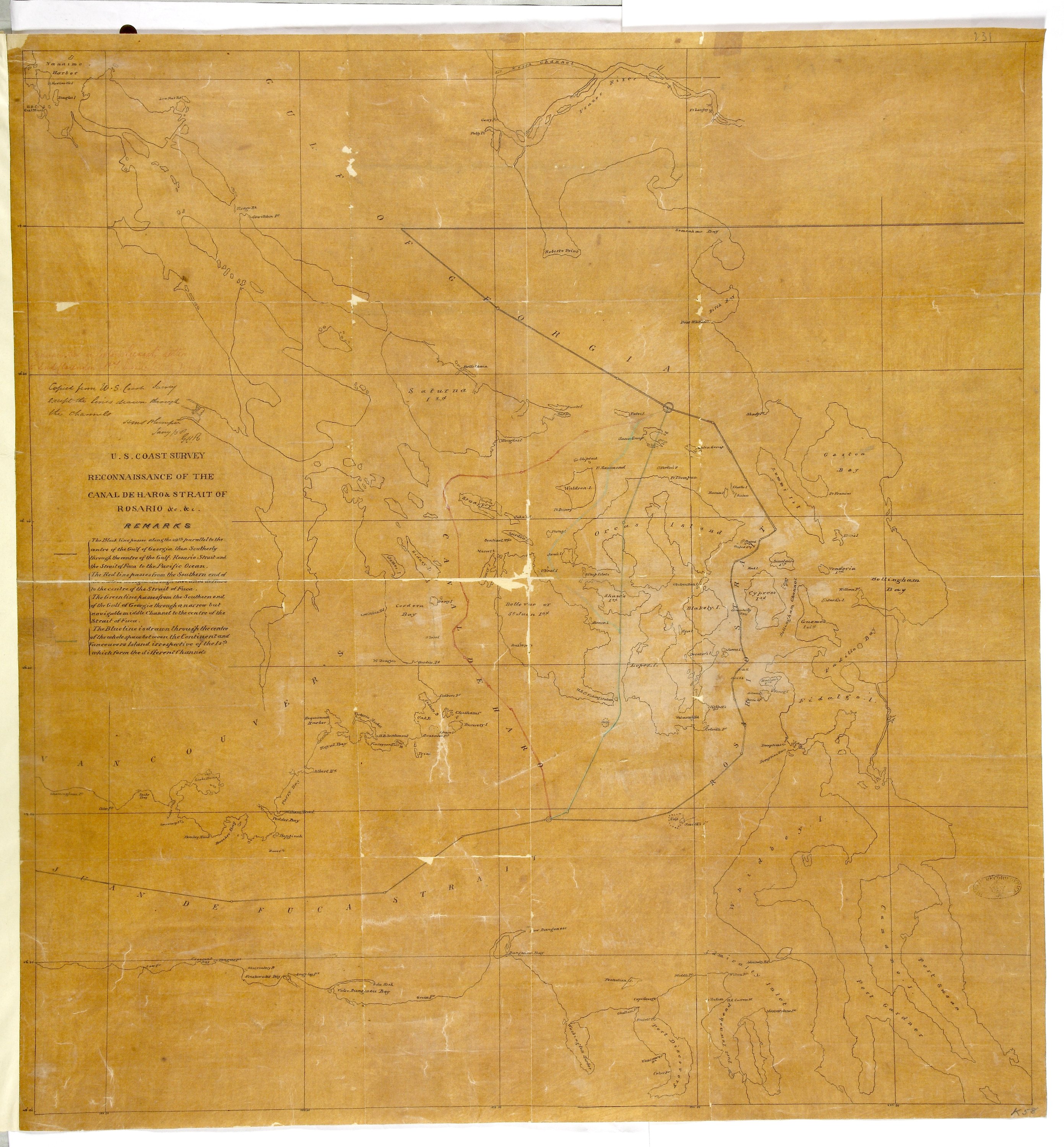
Reconnaissance of Canal de Haro & Strait of Rosario and approaches &c &c.
Title: Reconnaissance of Canal de Haro & Strait of Rosario and approaches &c &c.
Title: Canal de Haro & Strait of Rosario.
Author: United States Coast Survey
Subject: Haro Strait (B.C. and Wash.) -- Maps; Rosario Strait (Wash.) -- Maps; Georgia, Strait of (B.C. and Wash.) -- Maps; Juan de Fuca Strait (B.C. and Wash.) -- Maps; Boundaries -- British Columbia; Boundaries -- United States.
Subject: Haro and Rosario Straits, 1854, 1858
Identifier (repository): MPK
Identifier (repoNumber): 1
Identifier (repoVol): 58
Identifier (libFileName): MPK1-58
Identifier (penfoldNum): 483
Identifier (doc_id): MPK 1/58
Date: 1854
Funder: Funded by a Canadian Council of Archives, Archival Community Digitization Program.
Publisher: National Archives of the UK.