Colonial Despatches
The colonial despatches of Vancouver Island and British Columbia 1846-1871
South-east coast of Vancouver Island and the islands between the Gulf of Georgia and the Juan de Fuca Strait.
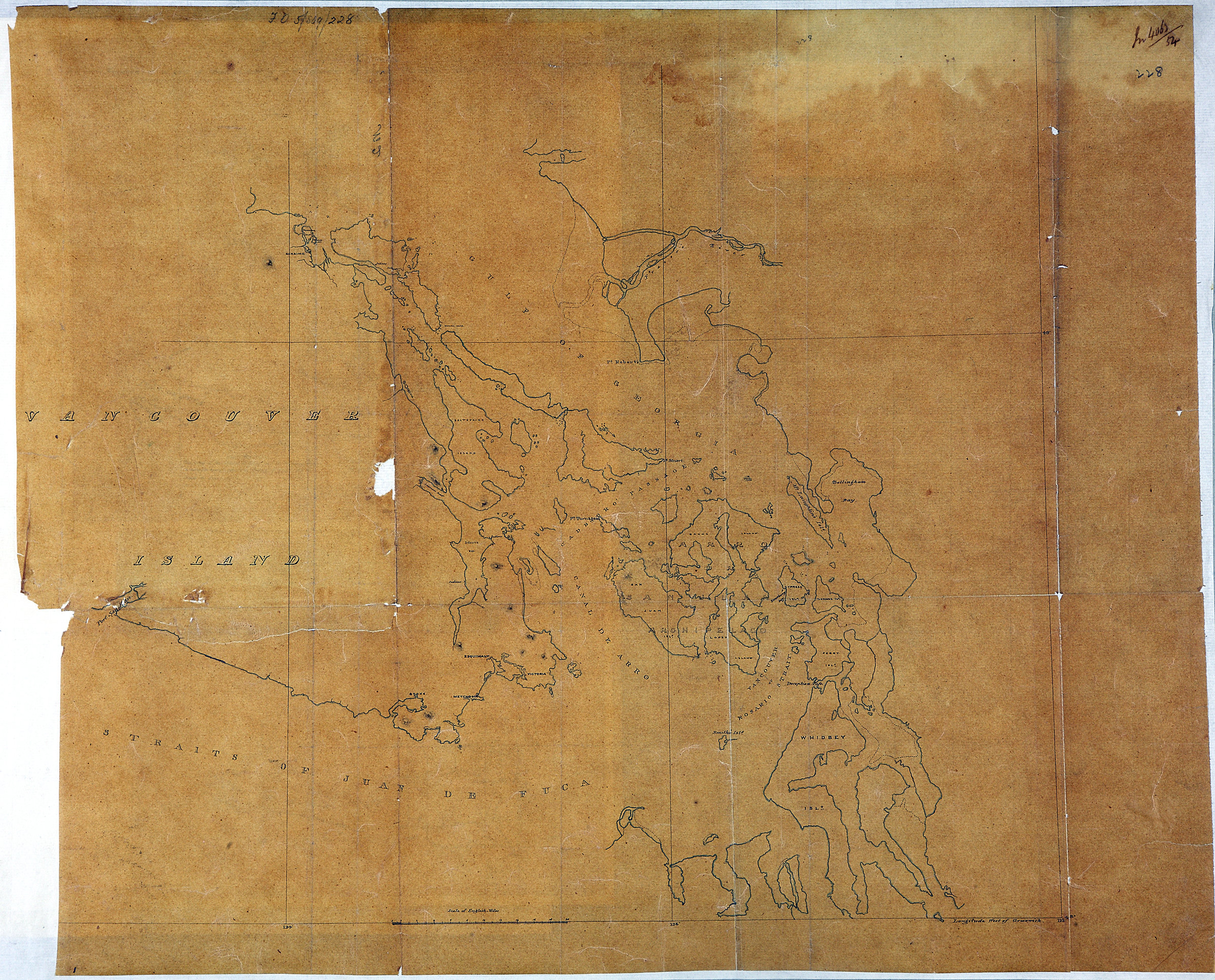
Title: South-east coast of Vancouver Island and the islands between the Gulf of Georgia and the Juan de Fuca Strait.
Title: Vancouver Island and the islands between the Gulf of Georgia and the Juan de Fuca Strait.
Subject: Vancouver Island (B.C.) -- Maps; Georgia, Strait of (B.C. and Wash.) -- Maps; Juan de Fuca Strait (B.C. and Wash.) -- Maps; Haro Strait (B.C. and Wash.) -- Maps; Rosario Strait (Wash.) -- Maps.
Subject: British Columbia, Washington, 1854
Identifier (repository): MPK
Identifier (repoNumber): 1
Identifier (repoVol): 77
Identifier (libFileName): MPK1-77 (3)
Identifier (penfoldNum): 379
Identifier (doc_id): MPK 1/77/3
Date: 1854
Funder: Funded by a Canadian Council of Archives, Archival Community Digitization Program.
Publisher: National Archives of the UK.
49N-48N/124W-122W